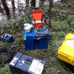
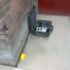
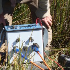
Ground Conductivity Mapping is one of the most cost effective Geophysical methods available.
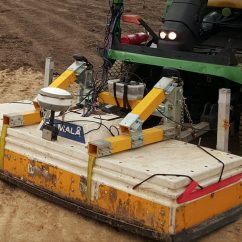
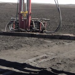
Rapid acquisition is made possible using custom vehicle setups (using a 4WD or ATV). Ground conductivity and position data are logged continuously in real-time whilst driving, making it possible to cover many hectares in one day. Applications for conductivity mapping include:
- Salinity Mapping
- Soil thickness and depth to bedrock
- Landfill mapping
- Contamination plume mapping
- Soil mapping