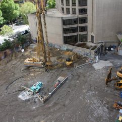
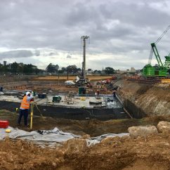
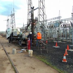
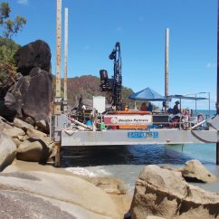
Douglas Partners provides an integrated range of services to clients who require efficient and practical solutions to problems associated with land development projects.
Our geotechnical experts provide practical advice and efficient solutions to clients requiring terrain evaluation and land capability services for problems associated with land development projects.
Our integrated range of services include:
- Preliminary air photo mapping;
- Assessment of available geotechnical, groundwater and environmental data;
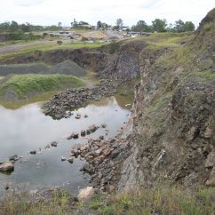
- Hazard and risk assessments (e.g. land instability, site contamination, flood studies);
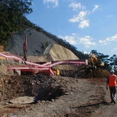
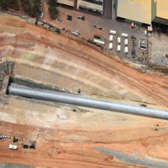
- Assessment of foundation and road pavement conditions;
- Identification and assessment of potential land contamination and groundwater problem areas;
- Mapping, definition and testing of potentially poor/troublesome soil conditions;
- Selection and categorisation of site suitability (e.g. housing, roads, parkland, industrial);
- Definition and mapping of areas that require special/further work;
- Environmental impact statements;
- Earthworks quality control testing;
- Coordination of laboratory testing;
- Comprehensive reporting and site data;
- Pavement thickness design; and
- Site classification.